
Click-and-destroy program for “sustainable redevelopment”
This information is from an anonymous contributor. It describes the evidence from the GIS (Geographic Information System) of extreme precision and selectivity of the Lahaina fire. It also points to the plans of potentially moving all low-income residents off their properties and into a concentration camp, ahem, a 15-minute city.
GIS system is a computer system for capturing, storing, checking, and displaying data related to positions on Earth’s surface. GIS can show many different kinds of data on one map, such as streets, buildings, and vegetation. This enables people to more easily see, analyze, and understand patterns and relationships. US Government has all these data layers in extreme detail for all developed areas in the country.

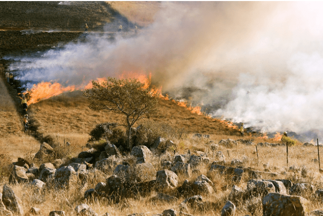
As of today (Aug 25, 2023) if you navigate your web browser to Google Maps, select “satellite view”, then select “globe view”. It appears that the aerial imagery was recently updated to reflect the damage from the recent “event”, that took place in Lahaina Hawaii earlier this August. Out of curiosity I also looked at GIS information on Lahaina, (link below) and wanted to see if there is correlation between damaged structures and particular zoning. I found some interesting things here.
Starting at the North end of Lahaina, I see the Fire Station, Courthouse, Civic center, Police Station where all spared from fire damage despite very clear fire damage to surrounding undeveloped land around these buildings.
What I found interesting is the surrounding undeveloped land with extensive fire damage, are parcels owned by “Department of Hawaiian Homelands”, “Housing Finance and Dev Corp”, which both appear to be the same and fall under Hawaii’s HUD authority. HUD appears own property running south from the civic center down to the Lahaina Bypass.
Everything west of HUD owned parcels are hundreds of small residential lots which where all destroyed seemingly from fires on originating from that HUD land.
Only a small home community was spared and appears intact between Leiali Pkwy and Kaniau Road. Interesting thing about this community is it appears to fall
Under HUD authority as well!
Large inland parcels south of the Lahaina Bypass are owned by large developers and trusts, and everything west of these parcels were hundreds of small residential lots which were all destroyed as well.
What’s most interesting about looking at the aerial imagery, is that amongst the destruction are various structures still standing with green grass & green trees, nearly right up to edge or property line. Looking at GIS data & street view some don’t make sense, as a few have all wood construction! In other cases, condo complexes that appear to be of concrete construction, completely destroyed.
